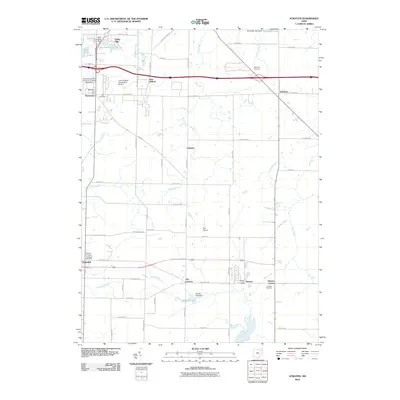
2010 Map of Atwater
USGS Topo · Published 2010About this map
Rootstown and the surrounding townships in Portage County are defined by a grid of rural roads and scattered small aviation facilities during the early 21st century. The landscape is dotted with localized hubs such as Atwater Center, Randolph, and Edinburg, while the Northeastern Ohio University College of Medicine serves as a significant institutional landmark near the western edge. This period shows a community structured around small airstrips like Gay Airport and the L and M Mold Corporation Airport, reflecting a local history of private aviation.
Find a feature on this map
68 named features on this map. Tap any name to fly to it.
Don’t see what you’re looking for? This feature index may not catch every label — zoom into the map to look around manually.
Map Details
Editions of this 2010 Atwater Map
This is the sole edition of this map. No revisions or reprints were ever made.
Other maps of this area

1901 · Canton
USGS Topo · 1:62,500

1903 · Canton
USGS Topo · 1:62,500

1906 · Kent
USGS Topo · 1:62,500

1906 · Ravenna
USGS Topo · 1:62,500

1908 · Ravenna
USGS Topo · 1:62,500

1909 · Alliance
USGS Topo · 1:62,500

1950 · Cleveland
USGS Topo · 1:250,000

1951 · Canton
USGS Topo · 1:250,000

1952 · Alliance
USGS Topo · 1:24,000

1953 · Canton
USGS Topo · 1:250,000