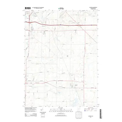
2013 Map of Atwater
USGS Topo · Published 2013About this map
Agricultural lands and localized farming operations characterize this portion of Portage County, where long-standing family holdings like Stroup Farms and Wise Farms sit alongside specialized sites such as the Haska Fur Farm. The settlement of Atwater serves as a central point for the surrounding rural area, which is punctuated by small water bodies including Schultz Lake and Schneider Lake. Evidence of earlier generations is preserved in several burial grounds, from the Disciple Cem to the simple designation of the Old Cem.
Find a feature on this map
92 named features on this map. Tap any name to fly to it.
Don’t see what you’re looking for? This feature index may not catch every label — zoom into the map to look around manually.
Map Details
Editions of this 2013 Atwater Map
This is the sole edition of this map. No revisions or reprints were ever made.
Other maps of this area

1901 · Canton
USGS Topo · 1:62,500

1903 · Canton
USGS Topo · 1:62,500

1906 · Kent
USGS Topo · 1:62,500

1906 · Ravenna
USGS Topo · 1:62,500

1908 · Ravenna
USGS Topo · 1:62,500

1909 · Alliance
USGS Topo · 1:62,500

1950 · Cleveland
USGS Topo · 1:250,000

1951 · Canton
USGS Topo · 1:250,000

1952 · Alliance
USGS Topo · 1:24,000

1953 · Canton
USGS Topo · 1:250,000