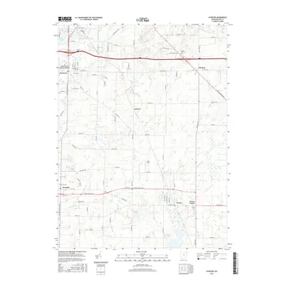
2016 Map of Atwater
USGS Topo · Published 2016About this map
Rootstown and Edinburg anchor the northern reaches of this Portage County landscape, where the agricultural grid is increasingly intersected by modern infrastructure. The presence of the Northeastern Ohio Universities Colleges of Medicine and Pharmacy near Rootstown signals the area's development as an educational and medical hub. Genealogists will find a significant distribution of burial grounds, from the Old Cem and Homeland Cem in the west to the Edinburg Cem and Atwater Cem further south and east.
Find a feature on this map
86 named features on this map. Tap any name to fly to it.
Don’t see what you’re looking for? This feature index may not catch every label — zoom into the map to look around manually.
Map Details
Editions of this 2016 Atwater Map
This is the sole edition of this map. No revisions or reprints were ever made.
Other maps of this area

1901 · Canton
USGS Topo · 1:62,500

1903 · Canton
USGS Topo · 1:62,500

1906 · Kent
USGS Topo · 1:62,500

1906 · Ravenna
USGS Topo · 1:62,500

1908 · Ravenna
USGS Topo · 1:62,500

1909 · Alliance
USGS Topo · 1:62,500

1950 · Cleveland
USGS Topo · 1:250,000

1951 · Canton
USGS Topo · 1:250,000

1952 · Alliance
USGS Topo · 1:24,000

1953 · Canton
USGS Topo · 1:250,000