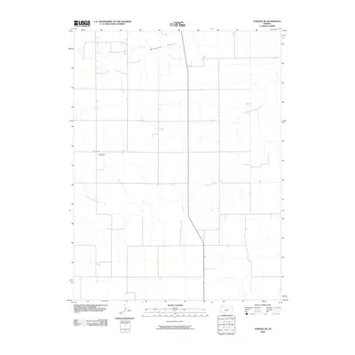
2009 Map of Atwood NE
USGS Topo · Published 2009About this map
Saint Cyril Cemetery sits as a quiet landmark in the rural expanse of northern Rawlins County, reflecting the deep-rooted settlement history of this High Plains region. The landscape is primarily defined by the seasonal drainage patterns of South Fork Driftwood Creek, which meanders across the territory, carving subtle depressions into the open terrain. In the northern reaches, Wildhorse Canyon provides a distinct geographic break in the otherwise steady topography. This 2009 snapshot shows a region defined by agricultural utility and sparse population, where the road network, including Co Rd 308, follows the strict section lines typical of the Midwest's rural development. The presence of a dedicated cemetery in such an open landscape speaks to the generational persistence of local ranching and farming families.
Find a feature on this map
4 named features on this map. Tap any name to fly to it.
Don’t see what you’re looking for? This feature index may not catch every label — zoom into the map to look around manually.
Map Details
Editions of this 2009 Atwood NE Map
This is the sole edition of this map. No revisions or reprints were ever made.
Other maps of this area

1951 · Herndon
USGS Topo · 1:62,500

1951 · Atwood
USGS Topo · 1:62,500

1954 · McCook
USGS Topo · 1:250,000

1954 · Goodland
USGS Topo · 1:250,000

1956 · Goodland
USGS Topo · 1:250,000

1957 · McCook
USGS Topo · 1:250,000

1957 · Goodland
USGS Topo · 1:250,000

1958 · McCook
USGS Topo · 1:250,000

1962 · Trenton SW
USGS Topo · 1:24,000

1962 · Culbertson SW
USGS Topo · 1:24,000