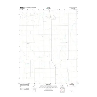
2012 Map of Atwood NE
USGS Topo · Published 2012About this map
Saint Cyril Cem stands as a quiet landmark in this corner of Rawlins County, situated near the headwaters of the S Fork Driftwood Cr. This High Plains landscape is defined by the section-line grid typical of Kansas, where local travel and property boundaries are maintained along routes like Co Rd-308 and Co Rd-314. The hydrology is dominated by the seasonal drainage of the S Fork Driftwood Cr, which cuts subtle paths through the terrain. The 2012 survey by the U.S. Geological Survey reflects the enduring agricultural character of the region, where infrastructure is centered on rural cemetery sites and a sparse network of county roads serving isolated farmsteads.
Find a feature on this map
4 named features on this map. Tap any name to fly to it.
Don’t see what you’re looking for? This feature index may not catch every label — zoom into the map to look around manually.
Map Details
Editions of this 2012 Atwood NE Map
This is the sole edition of this map. No revisions or reprints were ever made.
Other maps of this area

1951 · Herndon
USGS Topo · 1:62,500

1951 · Atwood
USGS Topo · 1:62,500

1954 · McCook
USGS Topo · 1:250,000

1954 · Goodland
USGS Topo · 1:250,000

1956 · Goodland
USGS Topo · 1:250,000

1957 · McCook
USGS Topo · 1:250,000

1957 · Goodland
USGS Topo · 1:250,000

1958 · McCook
USGS Topo · 1:250,000

1962 · Trenton SW
USGS Topo · 1:24,000

1962 · Culbertson SW
USGS Topo · 1:24,000