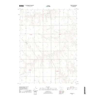
2018 Map of Atwood NE
USGS Topo · Published 2018About this map
S Fork Driftwood Cr meanders through the dissected plains of Rawlins County, shaping the drainage patterns that define this rural Kansas landscape. The land is organized by a systematic grid of section roads and range lines, including RD DD and Road W, which serve the isolated farmsteads of the High Plains. A significant cultural landmark is Saint Cyril Cem, located off Co RD 308, offering a point of interest for genealogists tracing early families in this corner of the state. To the north, the terrain drops into Wildhorse Canyon, where the elevation changes become more pronounced compared to the steady uplands. This 2018 survey captures the enduring agricultural character of the region, where modern road designations like RD CC follow historical property lines established during early settlement.
Find a feature on this map
22 named features on this map. Tap any name to fly to it.
Don’t see what you’re looking for? This feature index may not catch every label — zoom into the map to look around manually.
Map Details
Editions of this 2018 Atwood NE Map
This is the sole edition of this map. No revisions or reprints were ever made.
Other maps of this area

1951 · Herndon
USGS Topo · 1:62,500

1951 · Atwood
USGS Topo · 1:62,500

1954 · McCook
USGS Topo · 1:250,000

1954 · Goodland
USGS Topo · 1:250,000

1956 · Goodland
USGS Topo · 1:250,000

1957 · McCook
USGS Topo · 1:250,000

1957 · Goodland
USGS Topo · 1:250,000

1958 · McCook
USGS Topo · 1:250,000

1962 · Trenton SW
USGS Topo · 1:24,000

1962 · Culbertson SW
USGS Topo · 1:24,000