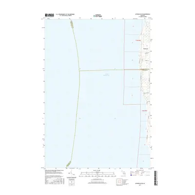
2017 Map of Atwood OE W
USGS Topo · Published 2017About this map
Norwood sits at the intersection of land and water along the northern coast of Lake Michigan, where the borders of Charlevoix, Antrim, and Leelanau counties meet in the open water. This 2017 survey shows a quiet residential and recreational landscape defined by shoreline roads and local landmarks. The community center is anchored by the Norwood Cem and the surrounding network of small-scale connectors like Norwood Rd and Gennett Rd. Moving south along the coast, the topography yields to local drainage at Whisky Cr and public access points at Banks Twp Park Rd. The map illustrates the contemporary pattern of coastal development in this section of Michigan, where long-established road names like Lake Shore Dr trace the narrow strip of habitable land between the lake's edge and the inland township lines.
Find a feature on this map
16 named features on this map. Tap any name to fly to it.
Don’t see what you’re looking for? This feature index may not catch every label — zoom into the map to look around manually.
Map Details
Editions of this 2017 Atwood OE W Map
This is the sole edition of this map. No revisions or reprints were ever made.
Other maps of this area

1954 · Central Lake
USGS Topo · 1:62,500

1954 · Charlevoix
USGS Topo · 1:62,500

1955 · Cheboygan
USGS Topo · 1:250,000

1957 · Northport
USGS Topo · 1:62,500

1958 · Cheboygan
USGS Topo · 1:250,000

1983 · Northport
USGS Topo · 1:25,000

1983 · Omena
USGS Topo · 1:24,000
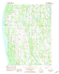
1983 · Atwood
USGS Topo · 1:24,000
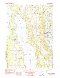
1983 · Central Lake
USGS Topo · 1:25,000
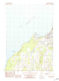
1983 · Charlevoix
USGS Topo · 1:25,000