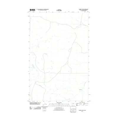
2011 Map of Aubrey Dam
USGS Topo · Published 2011About this map
Aubrey Dam and the winding course of Woody Island Creek define this rural landscape in Blaine County, Montana. Mapping from the early 21st century reveals a sparse network of primary roads including Cherry Ridge Rd and Rusky Rd, which cut through the open northern plains. The terrain is characterized by numerous small, intermittent water bodies and basins typical of the high prairie, reflecting a region where land use is dictated by water management and vast distances between settlements. This map provides a detailed view of the drainage patterns and access routes near the Montana-Saskatchewan border, documenting the hydraulic infrastructure and rural road system essential to the local agricultural and ranching community.
Find a feature on this map
4 named features on this map. Tap any name to fly to it.
Don’t see what you’re looking for? This feature index may not catch every label — zoom into the map to look around manually.
Map Details
Editions of this 2011 Aubrey Dam Map
This is the sole edition of this map. No revisions or reprints were ever made.
Other maps of this area

1913 · Cherry Ridge
USGS Topo · 1:125,000

1953 · Havre
USGS Topo · 1:250,000

1957 · Havre
USGS Topo · 1:250,000

1958 · Havre
USGS Topo · 1:250,000
1984 · Silver Bow Lake
USGS Topo · 1:24,000
1984 · Hogeland
USGS Topo · 1:24,000
1984 · Aubrey Dam
USGS Topo · 1:24,000
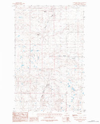
1984 · Silver Bow Spring
USGS Topo · 1:24,000
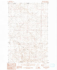
1984 · Irvins Coulee
USGS Topo · 1:24,000
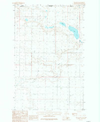
1984 · Hogeland NW
USGS Topo · 1:24,000