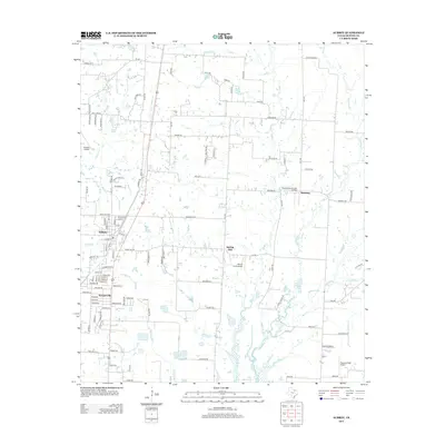
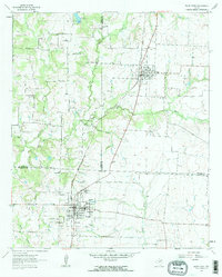
2013 Map of Aubrey
USGS Topo · Published 2013About this map
Aubrey and Krugerville serve as the primary residential hubs in this northern Texas landscape, where suburban expansion meets long-standing agricultural roots. The map reveals a transition from traditional farmsteads to modern aviation-focused properties, evidenced by the presence of private landing strips such as Venable Airpark, Mustang Community Airfield, and the Weems Farm Airport. These small airfields are interspersed among a network of rural routes like FM-1385 and FM-455, which connect smaller locales like Spring Hill and Mustang to the growing community centers.
Find a feature on this map
112 named features on this map. Tap any name to fly to it.
Don’t see what you’re looking for? This feature index may not catch every label — zoom into the map to look around manually.
Map Details
Editions of this 2013 Aubrey Map
This is the sole edition of this map. No revisions or reprints were ever made.
Other maps of this area
1929 · Frisco
USGS Topo · 1:62,500

1954 · Sherman
USGS Topo · 1:250,000

1958 · Sherman
USGS Topo · 1:250,000
1960 · Frisco
USGS Topo · 1:24,000
1960 · Green Valley
USGS Topo · 1:24,000
1960 · Celina
USGS Topo · 1:24,000
1960 · Aubrey
USGS Topo · 1:24,000
1960 · Denton East
USGS Topo · 1:24,000
1960 · Little Elm
USGS Topo · 1:24,000
1961 · Pilot Point
USGS Topo · 1:24,000