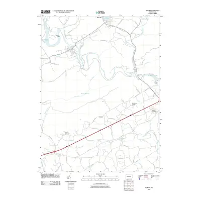
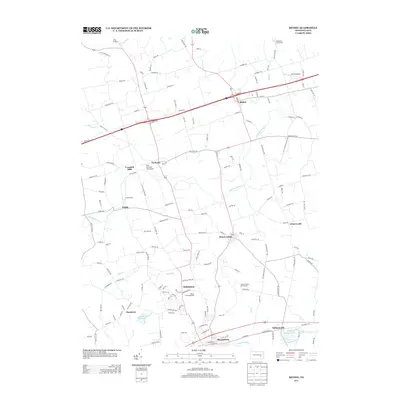
1945 Map of Auburn
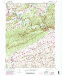
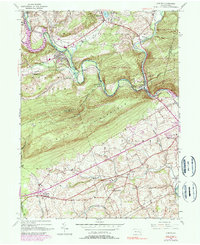
USGS Topo · Published 1958About this map
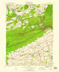
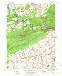
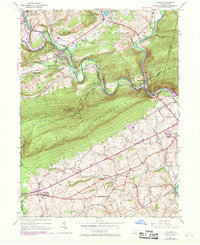
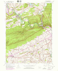
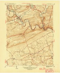
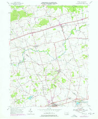
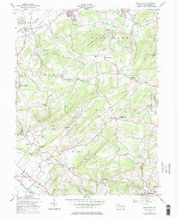
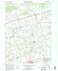
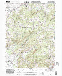
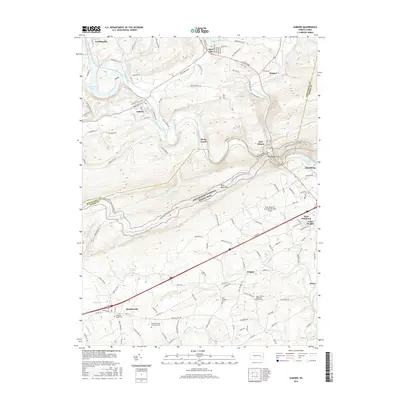
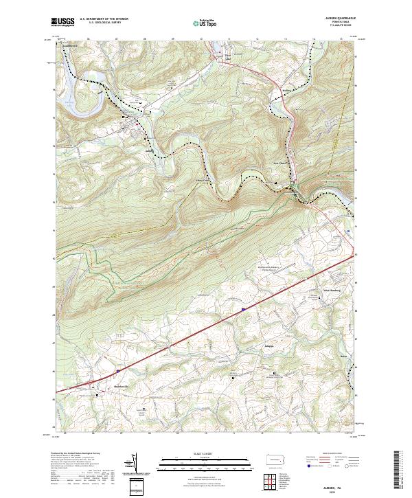
Blue Mountain serves as a massive physical barrier in this 1940s landscape, dividing the northern coal-region approaches from the rolling agricultural lands of the Tulpehocken region. Along the northern flank, the Schuylkill River and Little Schuylkill River converge near Port Clinton, a critical junction where the Reading and Pennsylvania railroads navigate the narrow gaps. The map records a dense network of rural education and faith, including the Tunnel Sch near Landingville and St Michaels Ch further south near Jalappa. This era shows the Appalachian Trail following the high ridge of the mountain, while the valley floor is dotted with small industrial and agricultural centers like Auburn and Hamburg. The presence of the Auburn Res and various creeks like Stony Creek and Bear Creek illustrate the water resources vital to these settlements at the end of the Second World War.
Find a feature on this map
37 named features on this map. Tap any name to fly to it.
Don’t see what you’re looking for? This feature index may not catch every label — zoom into the map to look around manually.
Map Details
Editions of this 1945 Auburn Map
6 editions found
Historical Maps of Hamburg Through Time
23 maps found

1943 Manatawny
Berks County, PA
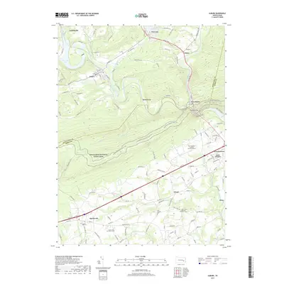
1945 Auburn
Berks County, PA
1946 Auburn
Berks County, PA
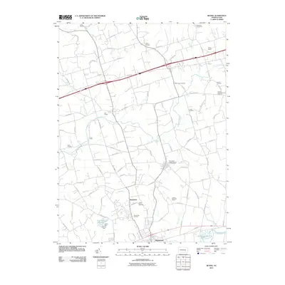
1955 Bethel
Berks County, PA
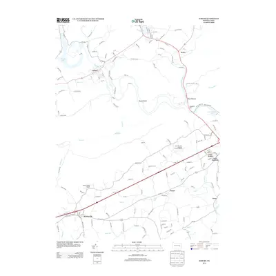
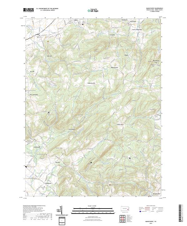
1957 Manatawny
Berks County, PA
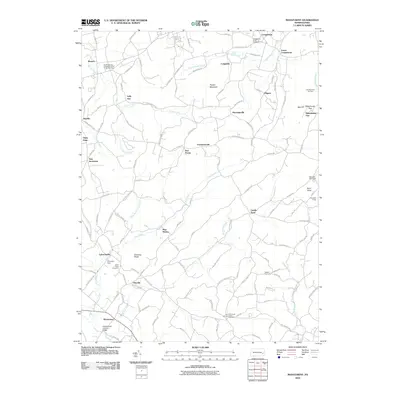
1992 Bethel
Berks County, PA

1999 Auburn
Berks County, PA
1999 Manatawny
Berks County, PA
2010 Auburn
Berks County, PA
2010 Bethel
Berks County, PA
2010 Manatawny
Berks County, PA
2013 Auburn
Berks County, PA
2013 Bethel
Berks County, PA
2013 Manatawny
Berks County, PA
2016 Auburn
Berks County, PA
2016 Bethel
Berks County, PA
2016 Manatawny
Berks County, PA
2019 Auburn
Berks County, PA
2019 Bethel
Berks County, PA

2019 Manatawny
Berks County, PA
2023 Auburn
Berks County, PA
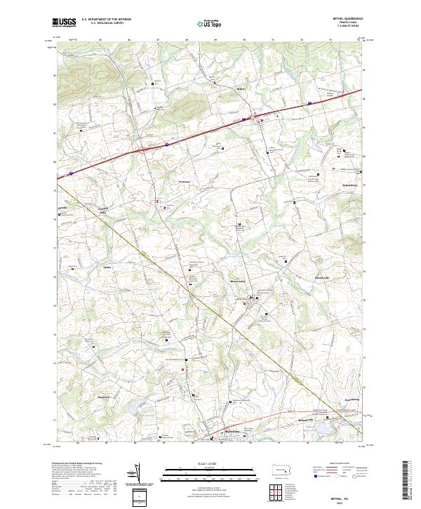
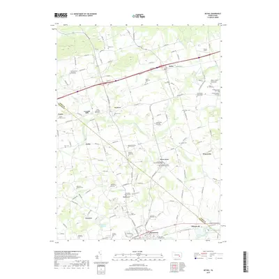
2023 Bethel
Berks County, PA
2023 Manatawny
Berks County, PA