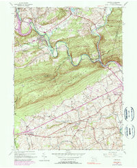
1945 Map of Auburn
USGS Topo · Published 1990About this map
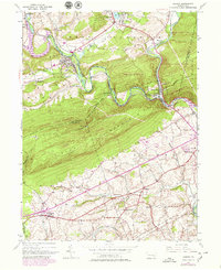
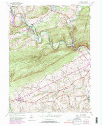
The Schuylkill River and Little Schuylkill River converge near Port Clinton, carving a deep gap through the prominent ridges of Blue Mountain and South Mountain. This 1945 landscape is defined by the legacy of the Reading railroad and an Old Railroad Grade that follow the river bends, connecting settlements like Auburn and Landingville. The ridge-top path of the Appalachian Trail traces the boundary between Schuylkill Co and Berks Co, looking down upon a series of rural valley schools including Tunnel Sch and Mangel Sch. In the southern half of the map, the terrain softens into the farm country of Upper Bern and Tilden, where local life centered around rural congregations at St Michaels Ch and Salem Ch.
Find a feature on this map
43 named features on this map. Tap any name to fly to it.
Don’t see what you’re looking for? This feature index may not catch every label — zoom into the map to look around manually.
Map Details
Editions of this 1945 Auburn Map
6 editions found
Other maps of this area

1889 · Pottsville
USGS Topo · 1:62,500

1891 · Pottsville
USGS Topo · 1:62,500

1894 · Reading
USGS Topo · 1:62,500

1902 · Wernersville
USGS Topo · 1:62,500

1909 · Hamburg
USGS Topo · 1:62,500

1911 · Hamburg
USGS Topo · 1:62,500

1913 · Reading
USGS Topo · 1:62,500

1915 · Reading
USGS Topo · 1:62,500

1943 · Wernersville
USGS Topo · 1:62,500

1944 · Reading
USGS Topo · 1:62,500