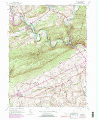
1945 Map of Auburn
USGS Topo · Published 1990About this map
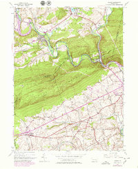
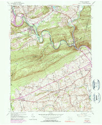
Blue Mountain dominates the central landscape of this mid-century survey, creating a formidable geographic barrier between the industrial valley to the north and the agricultural plains to the south. The Schuylkill River and Little Schuylkill River carve deep, winding paths through the ridge, facilitating the critical transportation corridor for the Reading Railroad Grade. Settlements such as Auburn and Port Clinton serve as focal points for this rail and river activity, while the Appalachian Trail follows the high ridgeline of the mountain.
Find a feature on this map
41 named features on this map. Tap any name to fly to it.
Don’t see what you’re looking for? This feature index may not catch every label — zoom into the map to look around manually.
Map Details
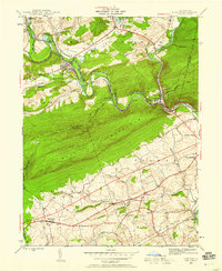
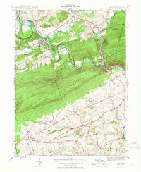
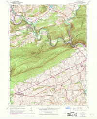
Editions of this 1945 Auburn Map
6 editions found
Other maps of this area

1889 · Pottsville
USGS Topo · 1:62,500

1891 · Pottsville
USGS Topo · 1:62,500

1894 · Reading
USGS Topo · 1:62,500

1902 · Wernersville
USGS Topo · 1:62,500

1909 · Hamburg
USGS Topo · 1:62,500

1911 · Hamburg
USGS Topo · 1:62,500

1913 · Reading
USGS Topo · 1:62,500

1915 · Reading
USGS Topo · 1:62,500

1943 · Wernersville
USGS Topo · 1:62,500

1944 · Reading
USGS Topo · 1:62,500