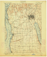
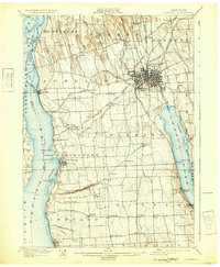
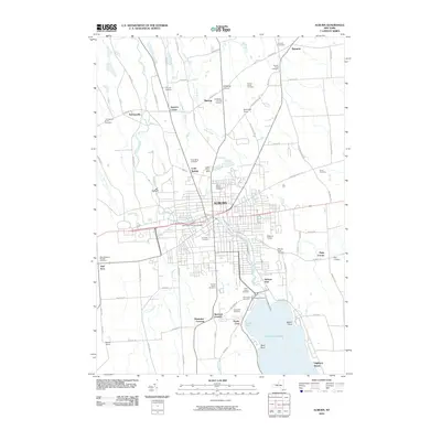
1902 Map of Auburn
USGS Topo · Published 1913About this map
The industrial and transportation hub of Auburn dominates this Finger Lakes landscape, where the Owasco Outlet powers local industry near the State Dam. Surveyed in the late 19th century, the map reveals a dense network of steam-era transit, including the New York Central and Hudson River R.R. and several branches of the Lehigh Valley R.R. connecting agricultural centers like Scipio and Fleming.
Find a feature on this map
79 named features on this map. Tap any name to fly to it.
Don’t see what you’re looking for? This feature index may not catch every label — zoom into the map to look around manually.
Map Details
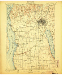
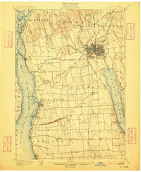
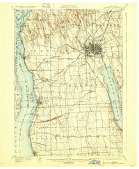
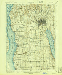
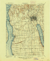
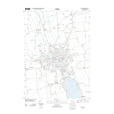
Editions of this 1902 Auburn Map
9 editions found


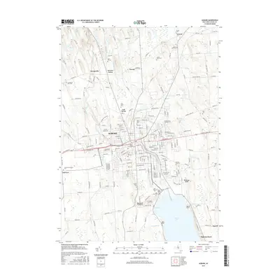
Historical Maps of Auburn Through Time
12 maps found

1899 Auburn
Cayuga County, NY
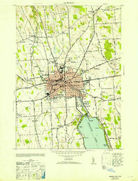
1902 Auburn
Cayuga County, NY
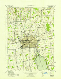
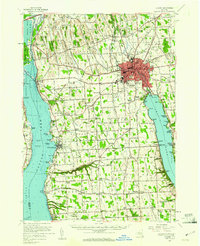
1943 Auburn
Cayuga County, NY
1953 Auburn
Cayuga County, NY
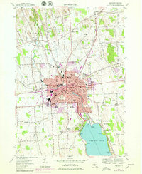
1954 Auburn
Cayuga County, NY
1956 Auburn
Cayuga County, NY
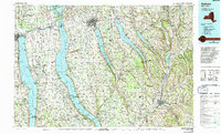
1986 Auburn
Cayuga County, NY
2010 Auburn
Cayuga County, NY
2013 Auburn
Cayuga County, NY
2016 Auburn
Cayuga County, NY

2019 Auburn
Cayuga County, NY

2023 Auburn
Cayuga County, NY