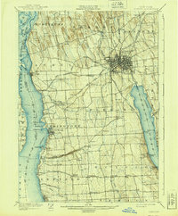
1902 Map of Auburn
USGS Topo · Published 1939About this map
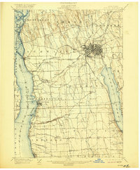
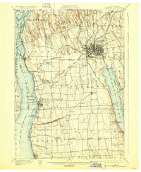
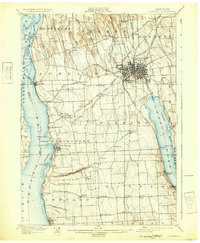
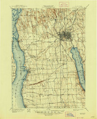
Auburn serves as the industrial and transit hub of this Finger Lakes landscape, situated at the convergence of the Lehigh Valley R. R. and the New York Central and Hudson River R. R. lines. The survey captures the complex water management systems of the era, from the State Dam controlling the Owasco Outlet to the historic Seneca Falls and Cayuga Canal featuring Mud Lock.
Find a feature on this map
71 named features on this map. Tap any name to fly to it.
Don’t see what you’re looking for? This feature index may not catch every label — zoom into the map to look around manually.
Map Details
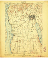
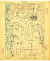
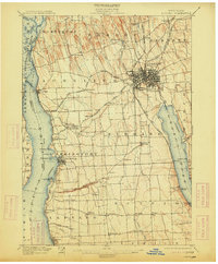
Editions of this 1902 Auburn Map
9 editions found

Other maps of this area

1898 · Moravia
USGS Topo · 1:62,500

1899 · Auburn
USGS Topo · 1:62,500

1899 · Skaneateles
USGS Topo · 1:62,500

1900 · Baldwinsville
USGS Topo · 1:62,500

1902 · Skaneateles
USGS Topo · 1:62,500

1902 · Geneva
USGS Topo · 1:62,500

1902 · Clyde
USGS Topo · 1:62,500

1902 · Moravia
USGS Topo · 1:62,500

1902 · Genoa
USGS Topo · 1:62,500

1902 · Ovid
USGS Topo · 1:62,500