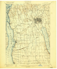
1902 Map of Auburn
USGS Topo · Published 1920About this map
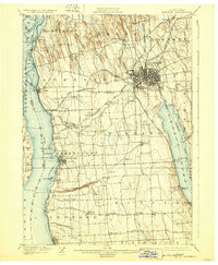
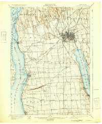
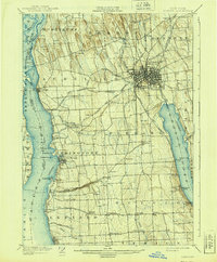
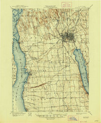
Auburn serves as the industrial and transit hub of Cayuga County at the turn of the century, positioned where the Owasco Outlet powers local enterprise before flowing toward the Seneca River. To the north, the Erie Canal and Montezuma marshes define a landscape of complex waterways and drainage, while the southern reaches of the map transition into the fertile agricultural townships of Springport, Ledyard, and Scipio. The shoreline of Cayuga Lake is dotted with important landings and points such as Union Springs, Levanna, and Hibiscus Pt., while Owasco Lake features seasonal destinations like Glenwood Beach. A dense network of competing rail lines, including the Lehigh Valley R.R. and the New York Central and Hudson River R.R., crisscrosses the map, illustrating the region's role as a vital transportation corridor between the Finger Lakes and the canal.
Find a feature on this map
77 named features on this map. Tap any name to fly to it.
Don’t see what you’re looking for? This feature index may not catch every label — zoom into the map to look around manually.
Map Details
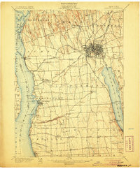
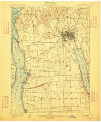
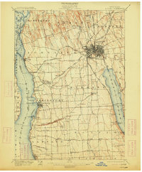
Editions of this 1902 Auburn Map
9 editions found

Other maps of this area

1898 · Moravia
USGS Topo · 1:62,500

1899 · Auburn
USGS Topo · 1:62,500

1899 · Skaneateles
USGS Topo · 1:62,500

1900 · Baldwinsville
USGS Topo · 1:62,500

1902 · Skaneateles
USGS Topo · 1:62,500

1902 · Geneva
USGS Topo · 1:62,500

1902 · Clyde
USGS Topo · 1:62,500

1902 · Moravia
USGS Topo · 1:62,500

1902 · Genoa
USGS Topo · 1:62,500

1902 · Ovid
USGS Topo · 1:62,500