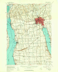
1956 Map of Auburn
USGS Topo · Published 1961About this map
Auburn serves as the industrial and population hub of this Finger Lakes region, dominated by the footprint of the State Prison and the dense neighborhood surrounding Mt Carmel High Sch. The landscape to the west and south transition into the drumlin-marked terrain of Aurelius and Springport, where the Lehigh Valley railroad cuts through small crossings like Shumaker Crossing and Half Acre Sta. Along the eastern shore of Cayuga Lake, the village of Union Springs and the site of Cayuga Junction highlight the importance of the lakefront to the local economy and transport network. To the north, the Montezuma Nat Wildlife Refuge preserves the marshes along the Seneca River, while numerous rural burial grounds such as Old Quaker Cem and McArthur Cem provide tangible links for those tracing early family lineages in Cayuga County.
Find a feature on this map
129 named features on this map. Tap any name to fly to it.
Don’t see what you’re looking for? This feature index may not catch every label — zoom into the map to look around manually.
Map Details
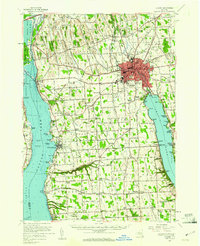
Editions of this 1956 Auburn Map
2 editions found
Other maps of this area

1898 · Moravia
USGS Topo · 1:62,500

1899 · Auburn
USGS Topo · 1:62,500

1899 · Skaneateles
USGS Topo · 1:62,500

1900 · Baldwinsville
USGS Topo · 1:62,500

1902 · Skaneateles
USGS Topo · 1:62,500

1902 · Geneva
USGS Topo · 1:62,500

1902 · Clyde
USGS Topo · 1:62,500

1902 · Moravia
USGS Topo · 1:62,500

1902 · Genoa
USGS Topo · 1:62,500

1902 · Ovid
USGS Topo · 1:62,500