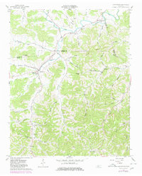
1962 Map of Auburntown
USGS Topo · Published 1980About this map
Auburntown sits at the junction of Leach Creek and Saunders Fork in a landscape defined by sharp ridges and deep hollows. The settlement pattern in the early 1960s reflects a rural Tennessee economy tied to the land, with numerous family-named landmarks such as Kennedy Cem, Odom Cem, and Fite Cem scattered throughout the valleys. Education and faith were centered at Auburn Sch and local congregations like Missionary Ch and Prosperity Ch.
Find a feature on this map
61 named features on this map. Tap any name to fly to it.
Don’t see what you’re looking for? This feature index may not catch every label — zoom into the map to look around manually.
Map Details
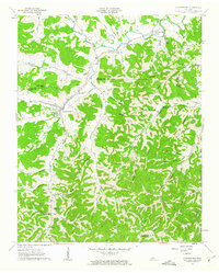
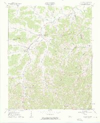
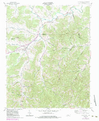
Editions of this 1962 Auburntown Map
4 editions found
Other maps of this area

1893 · Mc Minnville
USGS Topo · 1:125,000

1895 · Mc Minnville
USGS Topo · 1:125,000

1908 · Woodbury
USGS Topo · 1:62,500

1928 · Gordonsville
USGS Topo · 1:62,500

1942 · Statesville
USGS Topo · 1:100,000

1953 · Chattanooga
USGS Topo · 1:250,000

1956 · Columbia
USGS Topo · 1:250,000

1956 · Corbin
USGS Topo · 1:250,000

1956 · Nashville
USGS Topo · 1:250,000

1957 · Chattanooga
USGS Topo · 1:250,000