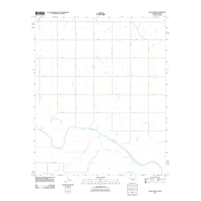
2012 Map of Augar Creek
USGS Topo · Published 2012About this map
The Red River defines the borderlands of Wichita County, winding through a landscape shaped by a complex network of seasonal drainages and a rigid rural road grid. Named for the prominent waterway that feeds into the river from the north, Augur Creek is central to a system of smaller tributaries including Bule Creek, Curtis Creek, and Cooper Creek. These waterways carve low-lying paths through a region predominantly organized for agriculture and ranching, as evidenced by the systematic numbering of east-west and north-south section roads.
Find a feature on this map
24 named features on this map. Tap any name to fly to it.
Don’t see what you’re looking for? This feature index may not catch every label — zoom into the map to look around manually.
Map Details
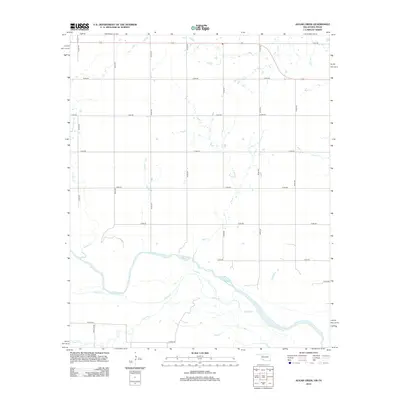
Editions of this 2012 Augar Creek Map
2 editions found
Other maps of this area

1915 · Clara
USGS Topo · 1:24,000

1915 · Barwise School
USGS Topo · 1:24,000

1916 · Electra
USGS Topo · 1:24,000

1918 · Electra
USGS Topo · 1:31,680

1918 · Barwise School
USGS Topo · 1:31,680

1918 · Clara
USGS Topo · 1:31,680

1955 · Lawton
USGS Topo · 1:250,000

1957 · Burkburnett
USGS Topo · 1:62,500

1958 · Electra
USGS Topo · 1:62,500

1962 · Chattanooga
USGS Topo · 1:62,500