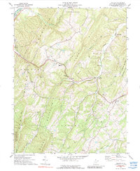
1973 Map of Augusta
USGS Topo · Published 1988About this map
The South Br Potomac R flows through the northwest corner of this Hampshire County landscape, shadowed by the Baltimore and Ohio railroad line. Settlement is concentrated along the valleys and gaps between prominent ridges like Springfield Mountain and Stony Mountain. In the 1970s, the village of Augusta serves as a local hub near Tear Coat Creek, while smaller communities like Frenchburg, Shanks, and Barnes Mill are connected by a network of winding roads and mountain gaps.
Find a feature on this map
39 named features on this map. Tap any name to fly to it.
Don’t see what you’re looking for? This feature index may not catch every label — zoom into the map to look around manually.
Map Details
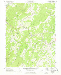
Editions of this 1973 Augusta Map
2 editions found
Other maps of this area

1891 · Romney
USGS Topo · 1:125,000

1920 · Moorefield
USGS Topo · 1:62,500

1920 · Keyser
USGS Topo · 1:62,500

1921 · Keyser
USGS Topo · 1:48,000

1921 · Hanging Rock
USGS Topo · 1:48,000

1921 · Moorefield
USGS Topo · 1:48,000

1922 · Moorefield
USGS Topo · 1:62,500

1922 · Wardensville
USGS Topo · 1:62,500

1922 · Keyser
USGS Topo · 1:62,500

1923 · Hanging Rock
USGS Topo · 1:62,500