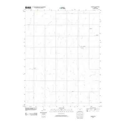
2009 Map of Aurora
USGS Topo · Published 2009About this map
The settlement of Aurora anchors this rural landscape in Cloud County, Kansas, serving as a focal point for a wide-reaching network of section roads and small watercourses. The geography is defined by a dense system of seasonal and perennial streams, including West Branch Elm Creek, Middle Pipe Creek, and Mulberry Creek, which drain the agricultural tablelands. The grid of country roads, such as Mild Rd and Eagle Rd, reflects the disciplined land division of the Great Plains, where every mile transition is marked by a transit-ready route.
Find a feature on this map
23 named features on this map. Tap any name to fly to it.
Don’t see what you’re looking for? This feature index may not catch every label — zoom into the map to look around manually.
Map Details
Editions of this 2009 Aurora Map
This is the sole edition of this map. No revisions or reprints were ever made.
Other maps of this area
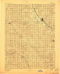
1891 · Clay Center
USGS Topo · 1:125,000
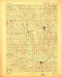
1892 · Concordia
USGS Topo · 1:125,000
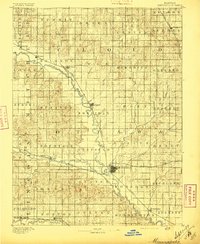
1892 · Minneapolis
USGS Topo · 1:125,000
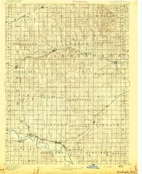
1893 · Washington
USGS Topo · 1:125,000

1955 · Manhattan
USGS Topo · 1:250,000
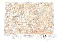
1956 · Manhattan
USGS Topo · 1:250,000
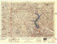
1957 · Manhattan
USGS Topo · 1:250,000
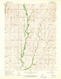
1964 · Lamar
USGS Topo · 1:24,000
1964 · Miltonvale
USGS Topo · 1:24,000
1965 · Aurora
USGS Topo · 1:24,000