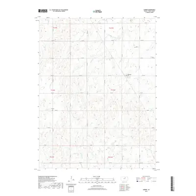
2018 Map of Aurora
USGS Topo · Published 2018About this map
The town of Aurora serves as the central hub of this North Central Kansas landscape, where the agricultural grid meets a complex drainage system of prairie creeks. This survey reveals a pattern of settlement and remembrance, with three distinct burial grounds—Saint Peter's Cem, Princeville Cem, and Enterprise Cem—situated along the township lines. The terrain is defined by the branching headwaters of several drainages, including Middle Pipe Cr and W Pipe Cr to the south, while Elm Cr and its various branches, such as W Br Elm Cr and E Br Elm Cr, carve through the northern sections. A robust network of section-line roads, including Co RD 372 and Eagle RD, connects the scattered farmsteads across the townships of Cloud County, illustrating the enduring spatial organization of the Great Plains.
Find a feature on this map
28 named features on this map. Tap any name to fly to it.
Don’t see what you’re looking for? This feature index may not catch every label — zoom into the map to look around manually.
Map Details
Editions of this 2018 Aurora Map
This is the sole edition of this map. No revisions or reprints were ever made.
Other maps of this area

1891 · Clay Center
USGS Topo · 1:125,000

1892 · Concordia
USGS Topo · 1:125,000

1892 · Minneapolis
USGS Topo · 1:125,000

1893 · Washington
USGS Topo · 1:125,000

1955 · Manhattan
USGS Topo · 1:250,000

1956 · Manhattan
USGS Topo · 1:250,000

1957 · Manhattan
USGS Topo · 1:250,000

1964 · Lamar
USGS Topo · 1:24,000

1964 · Miltonvale
USGS Topo · 1:24,000

1965 · Aurora
USGS Topo · 1:24,000