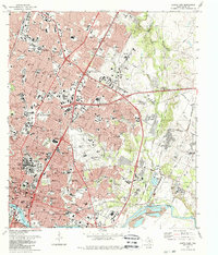
1988 Map of Austin East
USGS Topo · Published 1988About this map
The State Capitol anchors this detailed late-century look at the eastern landscape of Texas's seat of government. The urban core gives way to a complex network of residential developments and institutions, including Huston-Tillotson College and the Texas School For the Blind. Several important local history landmarks are preserved here, from the expansive Oakwood Cemetery near the city center to the smaller Fiskville Cem and Plummers Cem further out.
Find a feature on this map
103 named features on this map. Tap any name to fly to it.
Don’t see what you’re looking for? This feature index may not catch every label — zoom into the map to look around manually.
Map Details
Editions of this 1988 Austin East Map
2 editions found
Other maps of this area

1896 · Austin
USGS Topo · 1:125,000

1897 · Austin
USGS Topo · 1:125,000

1910 · Austin
USGS Topo · 1:125,000

1932 · Mt. Bonnell
USGS Topo · 1:62,500

1954 · Austin East
USGS Topo · 1:24,000

1954 · Austin West
USGS Topo · 1:24,000

1954 · Austin
USGS Topo · 1:250,000

1955 · Montopolis
USGS Topo · 1:24,000

1955 · Oak Hill
USGS Topo · 1:24,000

1955 · Montopolis
USGS Topo · 1:62,500