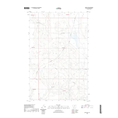
2020 Map of Austin Lake
USGS Topo · Published 2020About this map
Austin Lake and the surrounding high plains of Phillips County define this portion of northern Montana. The landscape is marked by the distinct drainage patterns of Lush Coulee and Butte Coulee, which navigate the subtle elevation changes of the prairie. Water management remains central to the region, as evidenced by Plum Reservoir and Adair Reservoir, serving as vital resources in an otherwise arid environment.
Find a feature on this map
15 named features on this map. Tap any name to fly to it.
Don’t see what you’re looking for? This feature index may not catch every label — zoom into the map to look around manually.
Map Details
Editions of this 2020 Austin Lake Map
This is the sole edition of this map. No revisions or reprints were ever made.
Other maps of this area

1920 · Cowan
USGS Topo · 1:125,000

1954 · Glasgow
USGS Topo · 1:250,000

1957 · Glasgow
USGS Topo · 1:250,000

1958 · Glasgow
USGS Topo · 1:250,000

1968 · Tattnall
USGS Topo · 1:24,000
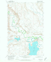
1968 · Hewitt Lake
USGS Topo · 1:24,000

1968 · Austin Lake
USGS Topo · 1:24,000

1968 · Hewitt Lake SW
USGS Topo · 1:24,000

1984 · Whitewater East
USGS Topo · 1:24,000

1984 · Austin Coulee
USGS Topo · 1:24,000