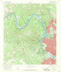
1966 Map of Austin West
USGS Topo · Published 1969About this map
The Colorado River and its winding canyon dominate this mid-1960s landscape, serving as the boundary between the growing capital city and the hills to the west. On the western shore, the developing communities of West Lake Hills and Rollingwood are etched into the terrain between Barton Creek and Bee Creek, while the north features the Jollyville Plateau. Within the city limits of Austin, the map documents significant social and institutional history, including the Texas Confederate Home and the Austin State Sch Annex near Camp Mabry Military Reservation. The transition of the river into Lake Austin and Town Lake via the Tom Miller Dam highlights the hydraulic engineering that shaped the modern city. Local landmarks like the Treaty Oak and numerous family cemeteries, including Breece Cem and McNeil Cem, provide specific points of interest for genealogists and local historians.
Find a feature on this map
75 named features on this map. Tap any name to fly to it.
Don’t see what you’re looking for? This feature index may not catch every label — zoom into the map to look around manually.
Map Details
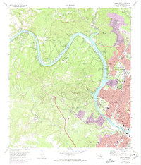
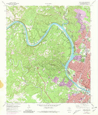
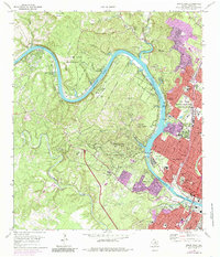
Editions of this 1966 Austin West Map
4 editions found
Other maps of this area

1896 · Austin
USGS Topo · 1:125,000

1897 · Austin
USGS Topo · 1:125,000

1910 · Austin
USGS Topo · 1:125,000

1930 · Austin-2
USGS Topo · 1:48,000

1932 · Mt. Bonnell
USGS Topo · 1:62,500

1954 · Austin East
USGS Topo · 1:24,000

1954 · Austin West
USGS Topo · 1:24,000

1954 · Austin
USGS Topo · 1:250,000

1955 · Montopolis
USGS Topo · 1:24,000

1955 · Oak Hill
USGS Topo · 1:24,000