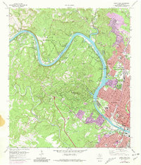
1966 Map of Austin West
USGS Topo · Published 1981About this map
The Colorado River winds through this 1966 topographic study of Travis County, defining the boundary between the expanding suburbs of West Austin and the high ground of the Jollyville Plateau. The map shows a landscape in transition, where established rural sites like Preece Cem and McNeil Cem meet newer developments in West Lake Hills and Rollingwood. Strategic and recreational hubs are prominent, including the Camp Mabry Military Reservation and Lake Austin Metropolitan Park.
Find a feature on this map
73 named features on this map. Tap any name to fly to it.
Don’t see what you’re looking for? This feature index may not catch every label — zoom into the map to look around manually.
Map Details
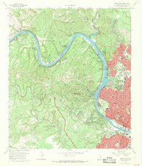
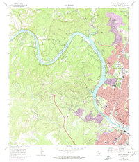
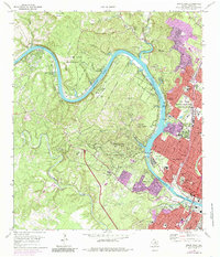
Editions of this 1966 Austin West Map
4 editions found
Other maps of this area

1896 · Austin
USGS Topo · 1:125,000

1897 · Austin
USGS Topo · 1:125,000

1910 · Austin
USGS Topo · 1:125,000

1930 · Austin-2
USGS Topo · 1:48,000

1932 · Mt. Bonnell
USGS Topo · 1:62,500

1954 · Austin East
USGS Topo · 1:24,000

1954 · Austin West
USGS Topo · 1:24,000

1954 · Austin
USGS Topo · 1:250,000

1955 · Montopolis
USGS Topo · 1:24,000

1955 · Oak Hill
USGS Topo · 1:24,000