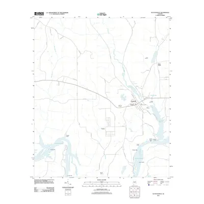
2011 Map of Autaugaville
USGS Topo · Published 2011About this map
Autaugaville serves as the central hub of this Alabama landscape, situated just north of the significant riverine features of Dutch Bend and Gun Island Chute. This modern survey illustrates the complex relationship between the settlement and the water, showing how Swift Creek and its associated Swift Creek Bar interact with the larger river system. The town's civic life is centered around the Autaugaville Post Office and several community burial grounds, including the Rocky Hill Cemetery and Saint Joseph Cemetery. To the north and west, the map transitions into a rural pattern of family-named roads like Palmer Rd and Prather Rd, alongside the smaller settlement of White Water. Genealogists will find particular value in the distribution of family cemeteries such as the Stoudemire Cemetery and Jones Cemetery, which provide clues to the historical land ownership and ancestral heritage of this portion of Autauga County.
Find a feature on this map
62 named features on this map. Tap any name to fly to it.
Don’t see what you’re looking for? This feature index may not catch every label — zoom into the map to look around manually.
Map Details
Editions of this 2011 Autaugaville Map
This is the sole edition of this map. No revisions or reprints were ever made.
Other maps of this area

1891 · Clanton
USGS Topo · 1:125,000

1953 · Montgomery
USGS Topo · 1:250,000

1956 · Montgomery
USGS Topo · 1:250,000

1957 · Montgomery
USGS Topo · 1:250,000

1957 · Autaugaville
USGS Topo · 1:62,500

1957 · Benton
USGS Topo · 1:62,500

1959 · Plantersville
USGS Topo · 1:62,500

1959 · Billingsley
USGS Topo · 1:62,500

1975 · Benton SE
USGS Topo · 1:24,000

1975 · Autaugaville SW
USGS Topo · 1:24,000