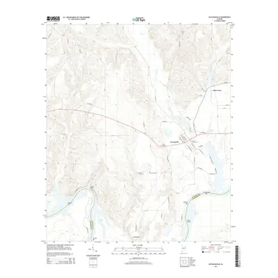
2014 Map of Autaugaville
USGS Topo · Published 2014About this map
The town of Autaugaville sits at the heart of this central Alabama landscape, where the waters of Swift Cr and White Water Cr converge before meeting the winding path of the Alabama River. The southern portion of the map is defined by the river’s complex morphology, featuring prominent landmarks such as House Bluff and the large meander of Dutch Bend. Several riverside bars, including Gholson Bar, Pauline Bar, and Gordon Bar, indicate the shifting sands and navigational hazards of the river corridor along the Autauga and Lowndes county line.
Find a feature on this map
65 named features on this map. Tap any name to fly to it.
Don’t see what you’re looking for? This feature index may not catch every label — zoom into the map to look around manually.
Map Details
Editions of this 2014 Autaugaville Map
This is the sole edition of this map. No revisions or reprints were ever made.
Other maps of this area

1891 · Clanton
USGS Topo · 1:125,000

1953 · Montgomery
USGS Topo · 1:250,000

1956 · Montgomery
USGS Topo · 1:250,000

1957 · Montgomery
USGS Topo · 1:250,000

1957 · Autaugaville
USGS Topo · 1:62,500

1957 · Benton
USGS Topo · 1:62,500

1959 · Plantersville
USGS Topo · 1:62,500

1959 · Billingsley
USGS Topo · 1:62,500

1975 · Benton SE
USGS Topo · 1:24,000

1975 · Autaugaville SW
USGS Topo · 1:24,000