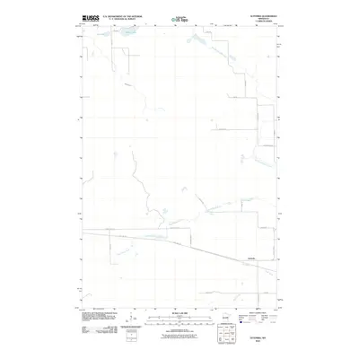
2010 Map of Automba
USGS Topo · Published 2010About this map
Automba occupies a central position in this corner of Carlton County, where the landscape is defined by a dense network of waterways and early twentieth-century infrastructure. The Soo Line Trl cuts across the southern portion of the quadrangle, following the path of the historic railroad that once drove the region's economy. This corridor parallels County Hwy-13, marking a distinct transition between the managed timberlands and the riparian zones of the Dead Moose River and Silver Creek.
Find a feature on this map
23 named features on this map. Tap any name to fly to it.
Don’t see what you’re looking for? This feature index may not catch every label — zoom into the map to look around manually.
Map Details
Editions of this 2010 Automba Map
This is the sole edition of this map. No revisions or reprints were ever made.
Other maps of this area

1953 · Duluth
USGS Topo · 1:250,000

1958 · Duluth
USGS Topo · 1:250,000

1961 · Cromwell
USGS Topo · 1:62,500

1961 · Moose Lake
USGS Topo · 1:62,500

1969 · Split Rock Lake
USGS Topo · 1:24,000

1969 · Ronald
USGS Topo · 1:24,000

1969 · Automba
USGS Topo · 1:24,000

1969 · Lawler
USGS Topo · 1:24,000

1970 · Tamarack
USGS Topo · 1:24,000

1970 · Wright
USGS Topo · 1:24,000