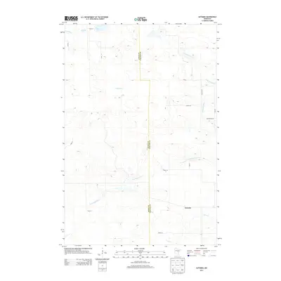
2013 Map of Automba
USGS Topo · Published 2013About this map
Automba anchors the southeastern corner of this quadrangle, situated where the Aitkin Co Carlton Co boundary line meets the wetland-rich headwaters of the region. The landscape is defined by its complex drainage network, notably the meandering path of the Dead Moose River and the northward flow of the Sandy River. Near the northern border, Nelson Lake and Jay Lake occupy a relatively flat plateau that drains into these larger river systems.
Find a feature on this map
21 named features on this map. Tap any name to fly to it.
Don’t see what you’re looking for? This feature index may not catch every label — zoom into the map to look around manually.
Map Details
Editions of this 2013 Automba Map
This is the sole edition of this map. No revisions or reprints were ever made.
Other maps of this area

1953 · Duluth
USGS Topo · 1:250,000

1958 · Duluth
USGS Topo · 1:250,000

1961 · Cromwell
USGS Topo · 1:62,500

1961 · Moose Lake
USGS Topo · 1:62,500

1969 · Split Rock Lake
USGS Topo · 1:24,000

1969 · Ronald
USGS Topo · 1:24,000

1969 · Automba
USGS Topo · 1:24,000

1969 · Lawler
USGS Topo · 1:24,000

1970 · Tamarack
USGS Topo · 1:24,000

1970 · Wright
USGS Topo · 1:24,000