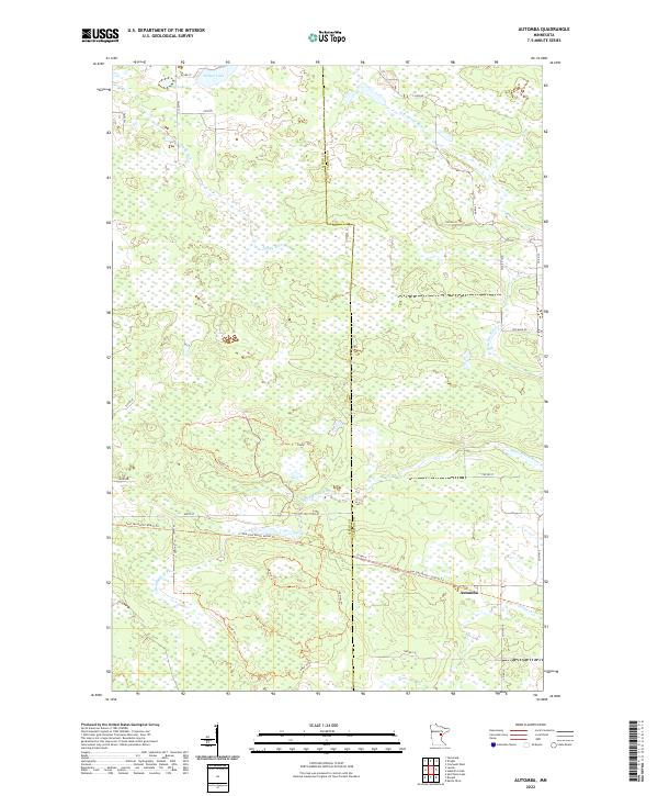
2022 Map of Automba
USGS Topo · Published 2022About this map
Automba anchors the southeastern portion of this map, situated where the Soo Line North: Carlton Trail meets the landscape of the Aitkin County and Carlton County line. The terrain is defined by a dense network of watercourses and wetlands, with the Sandy River and W Br Kettle River draining the northern half of the quadrangle while the Dead Moose River cuts through the central region. This 2022 survey illustrates the modern repurposing of industrial history, as former railroad corridors are now represented by the Soo Line North: Aitkin Trail and its Carlton counterpart. North of Automba, the land remains largely undeveloped, dotted with small bodies of water like Nelson Lake and Jay Lake. Small rural roads and tracks such as Lawler Trail and S Finn Road provide the primary access through these wooded and marshy townships.
Find a feature on this map
35 named features on this map. Tap any name to fly to it.
Don’t see what you’re looking for? This feature index may not catch every label — zoom into the map to look around manually.
Map Details
Editions of this 2022 Automba Map
This is the sole edition of this map. No revisions or reprints were ever made.
Other maps of this area

1953 · Duluth
USGS Topo · 1:250,000

1958 · Duluth
USGS Topo · 1:250,000

1961 · Cromwell
USGS Topo · 1:62,500

1961 · Moose Lake
USGS Topo · 1:62,500

1969 · Split Rock Lake
USGS Topo · 1:24,000

1969 · Ronald
USGS Topo · 1:24,000

1969 · Automba
USGS Topo · 1:24,000

1969 · Lawler
USGS Topo · 1:24,000

1970 · Tamarack
USGS Topo · 1:24,000

1970 · Wright
USGS Topo · 1:24,000