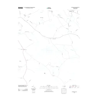
2013 Map of Autryville
USGS Topo · Published 2013About this map
Autryville serves as the primary settlement on this landscape, positioned along the banks of the S River in the northeastern corner. The geography is characterized by significant wetlands and water bodies, including the extensive Vineyard Swamp, Gallberry Swamp, and Reedy Marsh. These hydrologic features, alongside Beaver Dam Cr and Turnbull Cr, define a terrain where human development follows the high ground between low-lying basins. The Cedar Creek Lookout Tower stands as a notable landmark near the southwestern corridor, overlooking the transition into Bucks Bay. A network of local roads such as Stage Coach Ln and Concord Church Rd suggests a history of rural connectivity through these coastal plains, while Dudley Pond provides a localized landmark for those tracing land use and property boundaries in the western portion of the quadrangle.
Find a feature on this map
55 named features on this map. Tap any name to fly to it.
Don’t see what you’re looking for? This feature index may not catch every label — zoom into the map to look around manually.
Map Details
Editions of this 2013 Autryville Map
This is the sole edition of this map. No revisions or reprints were ever made.
Other maps of this area

1948 · Fayetteville
USGS Topo · 1:62,500

1949 · Vander
USGS Topo · 1:24,000

1953 · Florence
USGS Topo · 1:250,000

1953 · Raleigh
USGS Topo · 1:250,000

1954 · Florence
USGS Topo · 1:250,000

1954 · Raleigh
USGS Topo · 1:250,000

1957 · Vander
USGS Topo · 1:24,000

1957 · Fayetteville
USGS Topo · 1:62,500

1959 · Roseboro
USGS Topo · 1:62,500

1959 · Saint Pauls
USGS Topo · 1:62,500