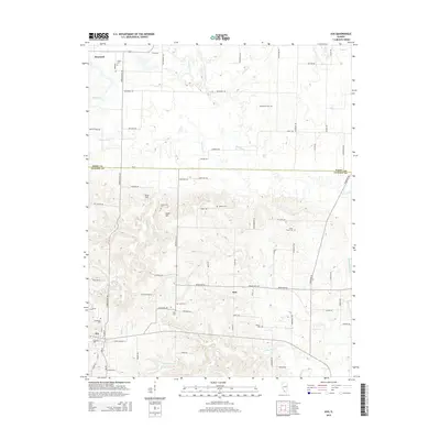
2015 Map of Ava
USGS Topo · Published 2015About this map
Ava and the unincorporated community of Sato occupy the southern portion of this landscape where the terrain transitions into the more dissected uplands of Jackson County. This 2015 survey reveals a dense concentration of small family and community burial grounds, such as Evergreen Cem, Graff Cem, and King Cem, reflecting generations of settlement near the headwaters of Beaucoup Creek. High points like Tater Hill and Sugar Hill break the horizon between the agricultural flats to the north and the forested creek bottoms.
Find a feature on this map
81 named features on this map. Tap any name to fly to it.
Don’t see what you’re looking for? This feature index may not catch every label — zoom into the map to look around manually.
Map Details
Editions of this 2015 Ava Map
This is the sole edition of this map. No revisions or reprints were ever made.
Other maps of this area

1910 · Murphysboro
USGS Topo · 1:62,500

1914 · Coulterville
USGS Topo · 1:62,500

1916 · Campbell Hill
USGS Topo · 1:62,500

1917 · Coulterville
USGS Topo · 1:62,500

1918 · Campbell Hill
USGS Topo · 1:62,500

1924 · Pinckneyville
USGS Topo · 1:62,500

1926 · Pinckneyville
USGS Topo · 1:62,500

1938 · Murphysboro
USGS Topo · 1:62,500

1949 · Paducah
USGS Topo · 1:250,000

1950 · Paducah
USGS Topo · 1:250,000