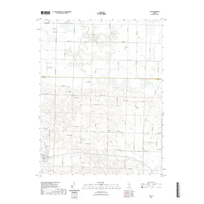
2021 Map of Ava
USGS Topo · Published 2021About this map
The settlement of Ava and the crossroads at Sato anchor this landscape along the border of Perry and Jackson Counties. The terrain is defined by the winding paths of Pipestone Cr, Galum Cr, and Beaucoup Creek, which separate distinct local elevations like Tater Hill and Sugar Hill. This 2021 USGS study provides a contemporary look at a deeply rural area where the naming of roads reflects both the natural world and the families who settled here, with labels such as Wolverine Rd, Hyena Rd, and Horstman Rd marking the grid.
Find a feature on this map
54 named features on this map. Tap any name to fly to it.
Don’t see what you’re looking for? This feature index may not catch every label — zoom into the map to look around manually.
Map Details
Editions of this 2021 Ava Map
This is the sole edition of this map. No revisions or reprints were ever made.
Other maps of this area

1910 · Murphysboro
USGS Topo · 1:62,500

1914 · Coulterville
USGS Topo · 1:62,500

1916 · Campbell Hill
USGS Topo · 1:62,500

1917 · Coulterville
USGS Topo · 1:62,500

1918 · Campbell Hill
USGS Topo · 1:62,500

1924 · Pinckneyville
USGS Topo · 1:62,500

1926 · Pinckneyville
USGS Topo · 1:62,500

1938 · Murphysboro
USGS Topo · 1:62,500

1949 · Paducah
USGS Topo · 1:250,000

1950 · Paducah
USGS Topo · 1:250,000