2024 Map of Ava
USGS Topo · Published 2024About this map
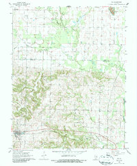
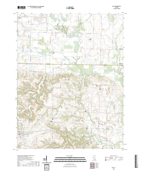
Ava serves as the primary hub in this southwestern Illinois landscape, where the southern reaches of Perry County meet Jackson County. The terrain is defined by a dense network of named watercourses, including the meandering Galum Creek and Rattlesnake Creek, which cut through the moderately elevated heights of Tater Hill and Sugar Hill. Settlement patterns follow a mix of traditional township grids and old rural corridors, with small communities like Sato and Denmark anchoring the surrounding countryside.
Find a feature on this map
89 named features on this map. Tap any name to fly to it.
Don’t see what you’re looking for? This feature index may not catch every label — zoom into the map to look around manually.
Map Details
Editions of this 2024 Ava Map
This is the sole edition of this map. No revisions or reprints were ever made.