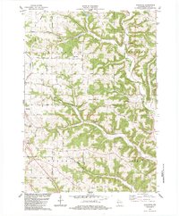
1983 Map of Avalanche
USGS Topo · Published 1983About this map
Avalanche sits at the confluence of the West Fork Kickapoo River and Seas Branch, serving as a central point in this corner of Vernon County. The landscape is defined by a dense network of ridges, including Asbury Ridge and Bishop Ridge, which dictated the winding paths of the early road system. For genealogists, the map is a significant resource, documenting numerous burial sites such as Zion Cem, Asbury Cem, and the Bishop Branch Cem.
Find a feature on this map
65 named features on this map. Tap any name to fly to it.
Don’t see what you’re looking for? This feature index may not catch every label — zoom into the map to look around manually.
Map Details
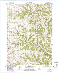
Editions of this 1983 Avalanche Map
2 editions found
Other maps of this area

1923 · Viroqua
USGS Topo · 1:62,500

1924 · Gays Mills
USGS Topo · 1:62,500

1926 · Gays Mills
USGS Topo · 1:62,500

1926 · Viroqua
USGS Topo · 1:62,500

1926 · La Farge
USGS Topo · 1:62,500

1933 · Boaz
USGS Topo · 1:62,500

1958 · La Crosse
USGS Topo · 1:250,000

1961 · La Crosse
USGS Topo · 1:250,000

1965 · La Crosse
USGS Topo · 1:250,000

1965 · La Farge
USGS Topo · 1:62,500