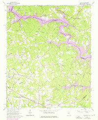
1963 Map of Avalon
USGS Topo · Published 1976About this map
The Hartwell Lake shoreline dominates this borderland landscape, where the Tugaloo River and Chauga River converge between Georgia and South Carolina. Surveyed in the early 1960s with 1970s updates, the area reflects a transition from river-valley agriculture to a reservoir-centered geography. The southern portion centers on Avalon, a small hub along the Southern railroad line, and the nearby community of Eastanollee. Numerous small country churches and family-named landmarks are scattered throughout the hills, including Williams Chapel, Fairplay Ch, and the Oak Hill Sch. These sites, along with rural junctions like Dixon Crossroads, document a network of established settlements that preceded the rising waters of the lake. The map also captures the wooded fringes of the Chattahoochee National Forest and localized landmarks such as a Quarry near Tugalo Ch, providing a detailed look at the infrastructure of Stephens and Oconee counties during this era.
Find a feature on this map
67 named features on this map. Tap any name to fly to it.
Don’t see what you’re looking for? This feature index may not catch every label — zoom into the map to look around manually.
Map Details
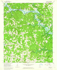
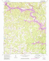
Editions of this 1963 Avalon Map
Other maps of this area

1886 · Walhalla
USGS Topo · 1:125,000

1891 · Carnesville
USGS Topo · 1:125,000

1892 · Walhalla
USGS Topo · 1:125,000

1896 · Walhalla
USGS Topo · 1:125,000

1954 · Greenville
USGS Topo · 1:250,000

1957 · Tugaloo Lake
USGS Topo · 1:24,000

1958 · Greenville
USGS Topo · 1:250,000

1959 · Lavonia
USGS Topo · 1:24,000

1960 · Martin
USGS Topo · 1:24,000
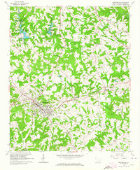
1963 · Westminster
USGS Topo · 1:24,000