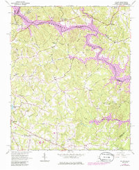
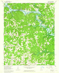
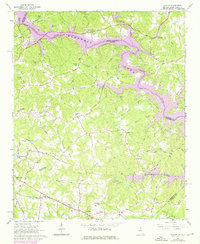
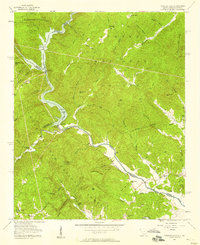
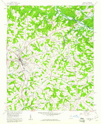
1963 Map of Avalon
USGS Topo · Published 1986About this map
Hartwell Lake dominates the landscape at the meeting point of Georgia and South Carolina, where the Tugaloo River and Chauga River converge. The creation of the reservoir transformed this region, submerging former riverbanks and creating the complex shoreline seen here. Along the southern corridor, the Southern Railway links established communities like Avalon and Eastanollee, providing a glimpse into the transportation network that historically supported these rural settlements.
Find a feature on this map
62 named features on this map. Tap any name to fly to it.
Don’t see what you’re looking for? This feature index may not catch every label — zoom into the map to look around manually.
Map Details
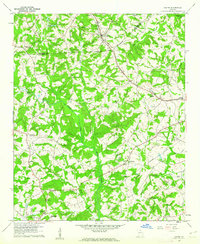
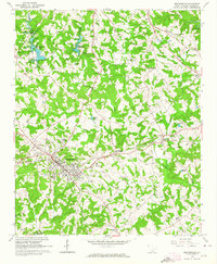
Editions of this 1963 Avalon Map
Other maps of this area

1886 · Walhalla
USGS Topo · 1:125,000

1891 · Carnesville
USGS Topo · 1:125,000

1892 · Walhalla
USGS Topo · 1:125,000

1896 · Walhalla
USGS Topo · 1:125,000

1954 · Greenville
USGS Topo · 1:250,000
1957 · Tugaloo Lake
USGS Topo · 1:24,000

1958 · Greenville
USGS Topo · 1:250,000
1959 · Lavonia
USGS Topo · 1:24,000
1960 · Martin
USGS Topo · 1:24,000
1963 · Westminster
USGS Topo · 1:24,000