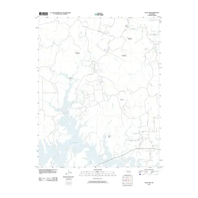
2010 Map of Avant NW
USGS Topo · Published 2010About this map
Skiatook Lake dominates the southern landscape of this Oklahoma quadrangle, where the impounded waters of Hominy Creek reach into a network of rugged inlets and submerged valleys. The terrain is marked by significant petroleum infrastructure, including the South Barnsdall Oil Field, West Avant Oil Field, and the Wildhorse NE Oil Field. These fields point to the region's long-standing reliance on energy production, while numerous water control structures like Oknoname 113063 Dam manage the flow of local tributaries such as Bull Creek and Clem Creek. Navigating this area involves a web of rural routes like Bill Dawsons Rd and Ranchhand Rd, which traverse the uplands above Cedar Canyon and the winding course of Bird Creek.
Find a feature on this map
31 named features on this map. Tap any name to fly to it.
Don’t see what you’re looking for? This feature index may not catch every label — zoom into the map to look around manually.
Map Details
Editions of this 2010 Avant NW Map
This is the sole edition of this map. No revisions or reprints were ever made.
Other maps of this area

1909 · Pawhuska
USGS Topo · 1:125,000

1910 · Pawhuska
USGS Topo · 1:125,000

1912 · Hominy
USGS Topo · 1:125,000

1915 · Hominy
USGS Topo · 1:125,000

1915 · Hominy
USGS Topo · 1:62,500

1955 · Enid
USGS Topo · 1:250,000

1958 · Enid
USGS Topo · 1:250,000
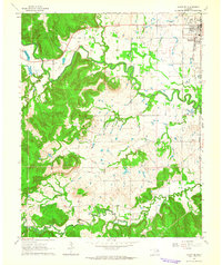
1963 · Avant SE
USGS Topo · 1:24,000

1964 · Barnsdall
USGS Topo · 1:24,000
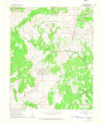
1964 · Wynona
USGS Topo · 1:24,000