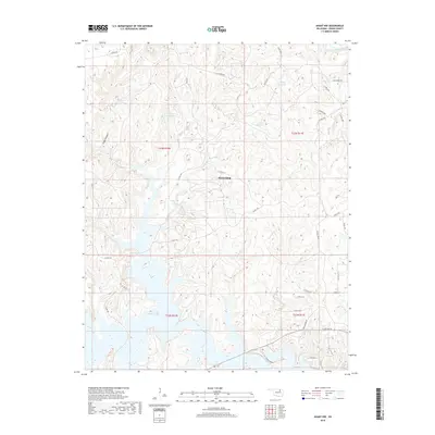
2018 Map of Avant NW
USGS Topo · Published 2018About this map
Skiatook Lake dominates the southwestern quadrant of this 2018 survey, its irregular shoreline forming numerous fingers and inlets across the Osage County landscape. North of the lake, the terrain is defined by a series of drainage basins including Bull Cr, Clem Cr, and Bird Creek, interspersed with smaller upland impoundments like 113064 Reservoir. The area reflects a mix of recreational shoreline development and rural infrastructure, with roads like Osage Park Rd and Ranchland Rd providing access to the hills and valleys. The presence of Cedar Canyon and Lost Cr highlights the natural erosion patterns that have shaped this portion of the Skiatook vicinity. This documentation serves as a detailed record of the local hydrology and the rural road network at the end of the 2010s.
Find a feature on this map
38 named features on this map. Tap any name to fly to it.
Don’t see what you’re looking for? This feature index may not catch every label — zoom into the map to look around manually.
Map Details
Editions of this 2018 Avant NW Map
This is the sole edition of this map. No revisions or reprints were ever made.
Other maps of this area

1909 · Pawhuska
USGS Topo · 1:125,000

1910 · Pawhuska
USGS Topo · 1:125,000

1912 · Hominy
USGS Topo · 1:125,000

1915 · Hominy
USGS Topo · 1:125,000

1915 · Hominy
USGS Topo · 1:62,500

1955 · Enid
USGS Topo · 1:250,000

1958 · Enid
USGS Topo · 1:250,000
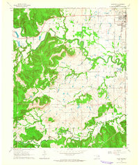
1963 · Avant SE
USGS Topo · 1:24,000

1964 · Barnsdall
USGS Topo · 1:24,000
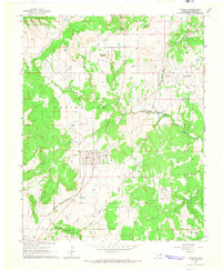
1964 · Wynona
USGS Topo · 1:24,000