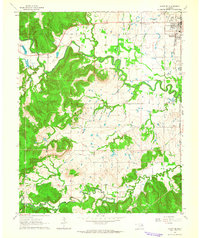
1963 Map of Avant SE
USGS Topo · Published 1964About this map
The Osage Indian Reservation Boundary cuts through this early 1960s landscape, marking the transition between Osage and Tulsa counties. The growing community of Skiatook anchors the northeast corner, where the Midland Valley RR runs parallel to the valley. The region's economy is clearly defined by its mineral wealth, with numerous oil wells and the established Krumme Oil Field dotting the terrain.
Find a feature on this map
24 named features on this map. Tap any name to fly to it.
Don’t see what you’re looking for? This feature index may not catch every label — zoom into the map to look around manually.
Map Details
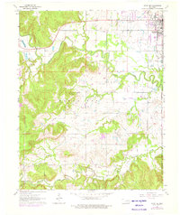
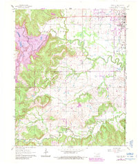
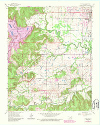
Editions of this 1963 Avant SE Map
4 editions found
Other maps of this area

1901 · Claremore
USGS Topo · 1:125,000

1912 · Hominy
USGS Topo · 1:125,000

1914 · Claremore
USGS Topo · 1:125,000

1915 · Hominy
USGS Topo · 1:125,000

1916 · Claremore
USGS Topo · 1:125,000

1954 · Tulsa
USGS Topo · 1:250,000

1954 · Tulsa
USGS Topo · 1:24,000

1955 · Sperry
USGS Topo · 1:24,000

1955 · Enid
USGS Topo · 1:250,000

1956 · Sand Springs
USGS Topo · 1:24,000