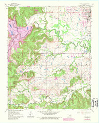
1963 Map of Avant SE
USGS Topo · Published 1989About this map
Skiatook sits at the northern edge of this survey, a landscape defined by the winding course of Hominy Creek and the significant industrial presence of the Krumme Oil Field. The map reveals a region in transition during the early 1960s, notably documenting the Dam Under Construction that would eventually form Skiatook Lake. This creation of a major reservoir altered the drainage patterns of local tributaries like Quapaw Creek and Lily Pad Lake, signifying a shift from traditional creek-bottom land use to large-scale water management.
Find a feature on this map
28 named features on this map. Tap any name to fly to it.
Don’t see what you’re looking for? This feature index may not catch every label — zoom into the map to look around manually.
Map Details
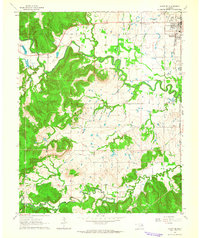
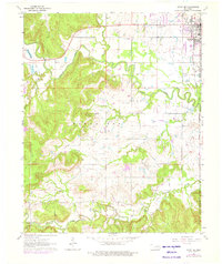
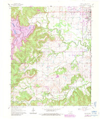
Editions of this 1963 Avant SE Map
4 editions found
Other maps of this area

1901 · Claremore
USGS Topo · 1:125,000

1912 · Hominy
USGS Topo · 1:125,000

1914 · Claremore
USGS Topo · 1:125,000

1915 · Hominy
USGS Topo · 1:125,000

1916 · Claremore
USGS Topo · 1:125,000

1954 · Tulsa
USGS Topo · 1:250,000

1954 · Tulsa
USGS Topo · 1:24,000

1955 · Sperry
USGS Topo · 1:24,000

1955 · Enid
USGS Topo · 1:250,000

1956 · Sand Springs
USGS Topo · 1:24,000