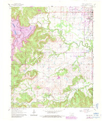
1963 Map of Avant SE
USGS Topo · Published 1983About this map
Hominy Creek snakes through the heart of this landscape, its path shaped by the transition of a major reservoir project. The 1963 field check captured the moment a dam under construction began transforming the drainage of Lily Pad Lake and Quapaw Creek into the modern Skiatook Lake. On the eastern edge, the town of Skiatook serves as a focal point near the Osage Co Tulsa Co line, its expansion evidenced by the Municipal Airport and the Missouri Pacific rail line.
Find a feature on this map
31 named features on this map. Tap any name to fly to it.
Don’t see what you’re looking for? This feature index may not catch every label — zoom into the map to look around manually.
Map Details
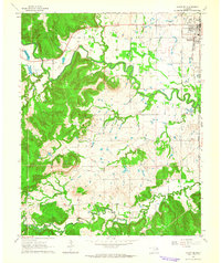
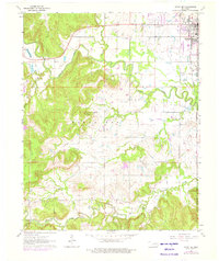
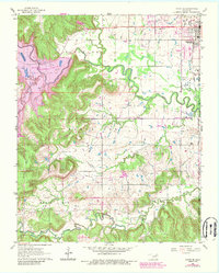
Editions of this 1963 Avant SE Map
4 editions found
Other maps of this area

1901 · Claremore
USGS Topo · 1:125,000

1912 · Hominy
USGS Topo · 1:125,000

1914 · Claremore
USGS Topo · 1:125,000

1915 · Hominy
USGS Topo · 1:125,000

1916 · Claremore
USGS Topo · 1:125,000

1954 · Tulsa
USGS Topo · 1:250,000

1954 · Tulsa
USGS Topo · 1:24,000

1955 · Sperry
USGS Topo · 1:24,000

1955 · Enid
USGS Topo · 1:250,000

1956 · Sand Springs
USGS Topo · 1:24,000