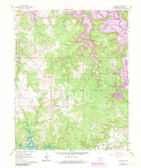
1966 Map of Avant SW
USGS Topo · Published 1983About this map
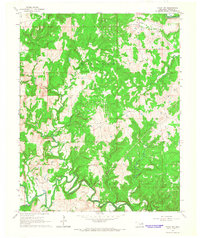
Morgans Corner and the Triple M Ranch anchor this landscape of Osage County during a period of significant hydraulic transition. The map reveals the expansion of regional water infrastructure with portions of Skiatook Lake and Keystone Lake visible, including purple hatching that denotes areas designated for future submersion. This transformation overlayed a well-established petroleum economy, evidenced by the dense concentration of oil wells and named production zones such as the Wildhorse Oil Field and the Branstetter Oil Field.
Find a feature on this map
24 named features on this map. Tap any name to fly to it.
Don’t see what you’re looking for? This feature index may not catch every label — zoom into the map to look around manually.
Map Details
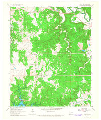
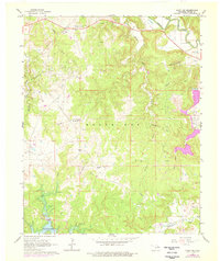
Editions of this 1966 Avant SW Map
3 editions found
Other maps of this area

1912 · Hominy
USGS Topo · 1:125,000

1915 · Hominy
USGS Topo · 1:125,000

1915 · Hominy
USGS Topo · 1:62,500

1955 · Enid
USGS Topo · 1:250,000

1956 · Sand Springs
USGS Topo · 1:24,000

1958 · Enid
USGS Topo · 1:250,000

1958 · Keystone Dam
USGS Topo · 1:24,000

1958 · Wekiwa
USGS Topo · 1:24,000
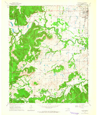
1963 · Avant SE
USGS Topo · 1:24,000
1966 · Avant NW
USGS Topo · 1:24,000