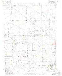
1952 Map of Avena
USGS Topo · Published 1994About this map
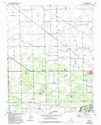
Agricultural development and early irrigation networks define this portion of the San Joaquin Valley, where the Stanislaus River forms the southern boundary between San Joaquin and Stanislaus counties. The landscape is characterized by a dense grid of rural roads and water management infrastructure, including the Main District Canal and numerous groundwater wells. Small community centers such as Van Allen, Simms, and Atlanta serve the surrounding farmland, while the town of Escalon acts as a primary hub in the southeast corner. Local education and industry are noted by landmarks like Four Trees School, River Sch, and a Winery near Alba. The meandering course of Lone Tree Creek cuts across the northern half of the survey, contrasting with the straight lines of the surrounding transit corridors like French Camp Road and Mariposa Road.
Find a feature on this map
53 named features on this map. Tap any name to fly to it.
Don’t see what you’re looking for? This feature index may not catch every label — zoom into the map to look around manually.
Map Details
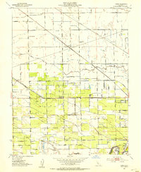
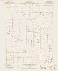
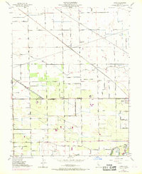
Editions of this 1952 Avena Map
5 editions found
Other maps of this area

1914 · Burnham
USGS Topo · 1:31,680

1914 · Manteca
USGS Topo · 1:31,680

1914 · Avena
USGS Topo · 1:31,680

1915 · Ripon
USGS Topo · 1:31,680

1915 · Trigo
USGS Topo · 1:31,680

1915 · Peters
USGS Topo · 1:31,680

1915 · Salida
USGS Topo · 1:31,680

1915 · Thalheim
USGS Topo · 1:31,680

1916 · Riverbank
USGS Topo · 1:31,680

1939 · Modesto East
USGS Topo · 1:62,500