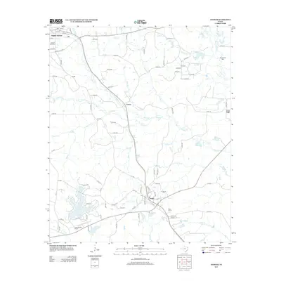
2013 Map of Avinger
USGS Topo · Published 2013About this map
Hughes Springs and Avinger anchor this corner of East Texas, where the landscape is defined by a dense network of creek drainages and small lakes. The area around Avinger is notably detailed with family-named landmarks and civic foundations, including the Mt Moriah Cem and Hickory Hill Cem. These sites, along with the settlement at Patman, suggest a legacy of rural community development along the regional rail and road corridors.
Find a feature on this map
102 named features on this map. Tap any name to fly to it.
Don’t see what you’re looking for? This feature index may not catch every label — zoom into the map to look around manually.
Map Details
Editions of this 2013 Avinger Map
This is the sole edition of this map. No revisions or reprints were ever made.
Other maps of this area

1910 · Linden
USGS Topo · 1:62,500

1914 · Daingerfield
USGS Topo · 1:62,500

1953 · Texarkana
USGS Topo · 1:250,000

1956 · Texarkana
USGS Topo · 1:250,000

1956 · Tyler
USGS Topo · 1:250,000

1961 · Cunningham Creek
USGS Topo · 1:24,000

1961 · Lassater
USGS Topo · 1:24,000

1962 · Kellyville
USGS Topo · 1:24,000

1962 · Avinger
USGS Topo · 1:24,000

1962 · Ore City
USGS Topo · 1:24,000