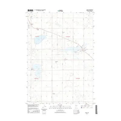
2016 Map of Avoca
USGS Topo · Published 2016About this map
The glacial upland of the Coteau des Prairies defines this portion of Murray County, where the prairie landscape is punctuated by a string of shallow lakes and marshy depressions. The city of Slayton occupies the northwest corner of the map, while the smaller village of Avoca sits on the southeastern shore of Lime Lake. This 2016 survey illustrates a meticulously organized section-line road network that facilitates the region's agricultural economy, centered around small rural hubs like the crossroads at Wirock.
Find a feature on this map
54 named features on this map. Tap any name to fly to it.
Don’t see what you’re looking for? This feature index may not catch every label — zoom into the map to look around manually.
Map Details
Editions of this 2016 Avoca Map
This is the sole edition of this map. No revisions or reprints were ever made.
Other maps of this area

1953 · New Ulm
USGS Topo · 1:250,000

1954 · Fairmont
USGS Topo · 1:250,000

1957 · New Ulm
USGS Topo · 1:250,000

1958 · New Ulm
USGS Topo · 1:250,000

1958 · Fairmont
USGS Topo · 1:250,000

1967 · New Ulm
USGS Topo · 1:250,000

1967 · Slayton
USGS Topo · 1:24,000

1967 · Wilmont
USGS Topo · 1:24,000

1967 · Hadley
USGS Topo · 1:24,000

1967 · Dovray
USGS Topo · 1:24,000