
1967 Map of Hadley
USGS Topo · Published 1968About this map
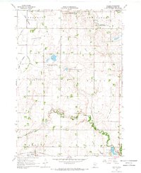
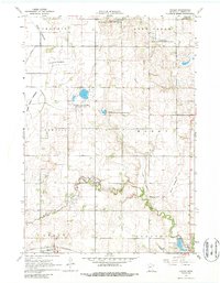
Hadley stands as the primary rail-oriented settlement in this southwestern Minnesota landscape, positioned where the Chicago and North Western line cuts through the south. The terrain is defined by a unique drainage pattern characterized by numerous lakebeds, such as the Great Oasis Lakebed, Crooked Lakebed, and Rush Lakebed, which suggest a complex history of water management and agricultural conversion. These flat basins contrast with landmarks like Poverty Hill and the winding course of Beaver Creek. Conservation efforts are prominent across the townships of Lowville and Mason, evidenced by the Sarah-Mason State Wildlife Management Area. For genealogists, the map reveals specific local sites including the Highland Home Cem near the Highland Home settlement and the Modum Cem in the north, providing precise locations for rural community life in the late 1960s.
Find a feature on this map
26 named features on this map. Tap any name to fly to it.
Don’t see what you’re looking for? This feature index may not catch every label — zoom into the map to look around manually.
Map Details
Editions of this 1967 Hadley Map
3 editions found
Other maps of this area

1953 · New Ulm
USGS Topo · 1:250,000

1954 · Fairmont
USGS Topo · 1:250,000

1957 · New Ulm
USGS Topo · 1:250,000

1958 · New Ulm
USGS Topo · 1:250,000

1958 · Fairmont
USGS Topo · 1:250,000

1967 · New Ulm
USGS Topo · 1:250,000

1967 · Balaton
USGS Topo · 1:24,000

1967 · Slayton
USGS Topo · 1:24,000
1967 · Balaton SW
USGS Topo · 1:24,000
1967 · Current Lake
USGS Topo · 1:24,000