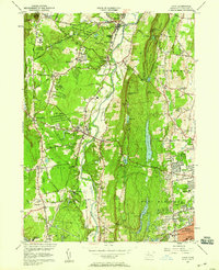
1957 Map of Avon
USGS Topo · Published 1958About this map
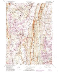
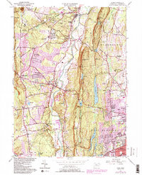
The Farmington River winds through this mid-century Connecticut landscape, flanked by the residential and institutional growth of Avon and Simsbury. Educational and religious landmarks are prominent, including the sprawling campus of Avon Old Farms and the Ethel Walker Sch, alongside the La Sallette Novitiate in Bloomfield. To the east, the dramatic ridge of Talcott Mountain separates the river valley from the burgeoning suburbs of West Hartford, which are served by several large reservoirs, such as Hartford Reservoir No 6. Local history is anchored by several burial grounds including St Ann Cem and Cider Brook Cem, while traces of the area's industrial past appear near Powder Mill. The New York New Haven and Hartford Railroad still follows the river's path, providing a primary transportation corridor through the valley during this era.
Find a feature on this map
99 named features on this map. Tap any name to fly to it.
Don’t see what you’re looking for? This feature index may not catch every label — zoom into the map to look around manually.
Map Details
Editions of this 1957 Avon Map
6 editions found
Other maps of this area

1892 · Hartford
USGS Topo · 1:62,500

1892 · Meriden
USGS Topo · 1:62,500

1892 · Granby
USGS Topo · 1:62,500

1893 · Middletown
USGS Topo · 1:62,500

1893 · Meriden
USGS Topo · 1:62,500

1906 · Farmington
USGS Topo · 1:125,000

1928 · Windsor Locks
USGS Topo · 1:24,000

1928 · Windsor
USGS Topo · 1:24,000

1944 · Hartford South
USGS Topo · 1:31,680

1945 · Hartford North
USGS Topo · 1:31,680