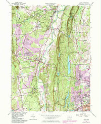
1957 Map of Avon
USGS Topo · Published 1984About this map
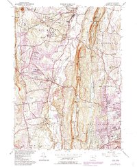
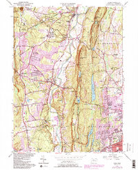
The Farmington River winds through the heart of the Farmington Valley, defining a landscape of traditional New England settlements and expanding mid-century institutions. In the western hills, Massacor State Forest and Stratton Brook State Park preserve the wooded heights of Onion Mtn, while the eastern side is dominated by the steep ridge of King Phillip Mtn and the extensive Hartford Reservoir No 6 system. The map documents a significant academic presence, anchored by the Avon Old Farms Sch and the Ethel Walker Sch, alongside smaller neighborhood facilities like the Tootin Hill Sch. Settlement patterns are marked by historic crossroads such as Hisop Corner and Crowleys Corner, while the purple revision layers reveal the post-war suburban growth of West Hartford and Avon.
Find a feature on this map
89 named features on this map. Tap any name to fly to it.
Don’t see what you’re looking for? This feature index may not catch every label — zoom into the map to look around manually.
Map Details
Editions of this 1957 Avon Map
6 editions found
Other maps of this area

1892 · Hartford
USGS Topo · 1:62,500

1892 · Meriden
USGS Topo · 1:62,500

1892 · Granby
USGS Topo · 1:62,500

1893 · Middletown
USGS Topo · 1:62,500

1893 · Meriden
USGS Topo · 1:62,500

1906 · Farmington
USGS Topo · 1:125,000

1928 · Windsor Locks
USGS Topo · 1:24,000

1928 · Windsor
USGS Topo · 1:24,000

1944 · Hartford South
USGS Topo · 1:31,680

1945 · Hartford North
USGS Topo · 1:31,680