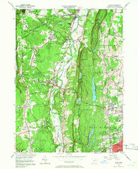
1957 Map of Avon
USGS Topo · Published 1966About this map
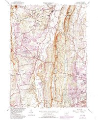
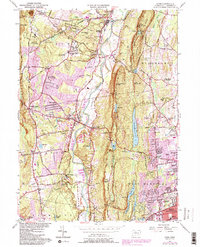
Talcott Mountain dominates the central landscape of this mid-century survey, creating a dramatic natural barrier between the Farmington River valley and the developing suburbs of West Hartford. Along the river's winding course, the villages of Simsbury, Weatogue, and Avon are connected by the New York New Haven and Hartford railroad line. The map highlights the area's transition into a regional educational and recreational hub, featuring institutions like Avon Old Farms, Ethel Walker Sch, and the La Sallette Novitiate.
Find a feature on this map
86 named features on this map. Tap any name to fly to it.
Don’t see what you’re looking for? This feature index may not catch every label — zoom into the map to look around manually.
Map Details
Editions of this 1957 Avon Map
6 editions found
Other maps of this area

1892 · Hartford
USGS Topo · 1:62,500

1892 · Meriden
USGS Topo · 1:62,500

1892 · Granby
USGS Topo · 1:62,500

1893 · Middletown
USGS Topo · 1:62,500

1893 · Meriden
USGS Topo · 1:62,500

1906 · Farmington
USGS Topo · 1:125,000

1928 · Windsor Locks
USGS Topo · 1:24,000

1928 · Windsor
USGS Topo · 1:24,000

1944 · Hartford South
USGS Topo · 1:31,680

1945 · Hartford North
USGS Topo · 1:31,680